Best Guide to Hiking the High Neb-Bamford Edge Walk
Magnificent views over Ladybower Reservoir, ancient millstones and old wells, vast marshland, impressive boulders, eerie forests and picturesque streams; continue reading our guide on the High Neb-Bamford Edge Walk for everything you need to know about one of the best hikes in the Peak District.
The High Neb-Bamford Edge Walk is one of the most stunning hikes in the Peak District comprising woodland, marshland, an enchanted forest, streams, boulders, history and incredible views!
Along the way, you’ll be treated to interesting gritstone rock formations, historical millstones, a variety of wildlife, panoramic viewpoints and a reminder of the area’s industrial past.
The High Neb-Bamford Edge Walk is 11.2 kilometres and rated as intermediate. It took us around 3 hours which also allowed for time to take photos, eat lunch and sit and admire the views!
In this guide to the High Neb-Bamford Edge Walk, we’ll detail the route, highlight the particular areas of interest and tell you everything else you need to know.
Our Top Tip: you want to set off early for this hike. Bamford Edge is an incredibly popular viewpoint for Ladybower Reservoir and some of the most popular hikes in the Peak District are shorter trails to reach this viewpoint so it gets very crowded.
No time to read this guide to the High Neb-Bamford Edge Walk now? No worries, save it for later!
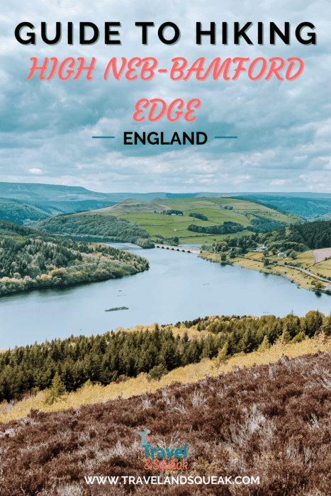

High Neb-Bamford Edge Walk
The High Neb-Bamford Edge Walk begins at Heatherdene Car Park. Leave the car park, turn right and walk along the road keeping Ladybower Reservoir to your left. At the T-junction, turn right and head up the footpath on the other side of the road behind Ladybower Inn.
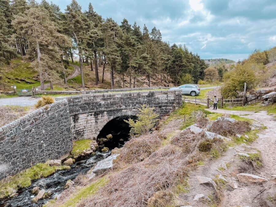
Continue following the path for a while. You’ll cross Nether Brook and, after a short while, the path splits in two. Turn right and head down towards the road, crossing over and heading up a slight hill through the trees on the other side.
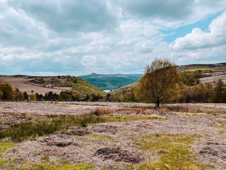
A little further on, you’ll come out into a clearing, where, to your right, you can enjoy a teaser of Ladybower Reservoir poking through the trees.
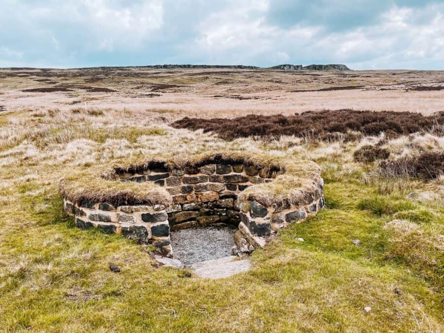
Continue until you see a path on your left towards some huge rocks. As you walk towards these rocks you’ll pass what looks like old wells that have been left to be reclaimed by nature.
We’ve struggled to find any information about these wells so we can’t tell you exactly what they were used for, however, from what else we saw, we’re guessing it has to do with the area’s industrial past.
Also scattered around this part of the Peak District, are thousands of old millstones dating as far back as 1257 making this one of the most intriguing hikes in the Peak District! Due to a decline in the demand for millstones throughout the 18th and 19th centuries, they were then abandoned where they lay.
Once you reach the rocks, scramble up onto Stanage Edge; one of the Peak District’s most impressive and well-known locations. Stanage Edge totals approximately 6.4 kilometres and is made up of course gritstone, the key to millstone production.
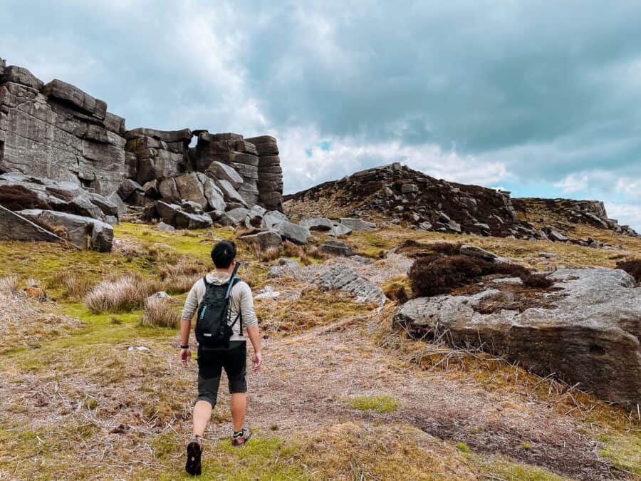
Head right along Stanage Edge and you’ll probably pass quite a few rock climbers as it’s a very popular activity here!
The highest point of Stanage Edge is High Neb at 458 metres above sea level. The trig point is a short way along where you’ll be rewarded with magnificent panoramic views out across the horizon.

To the north is the Derwent Valley and Kinder Plateau, to the south is Chatsworth House and to the west are wonderful views over the Hallam Moors and Hope Valley where you’ll see the cement works in Castleton, Mam Tor and the Great Ridge.
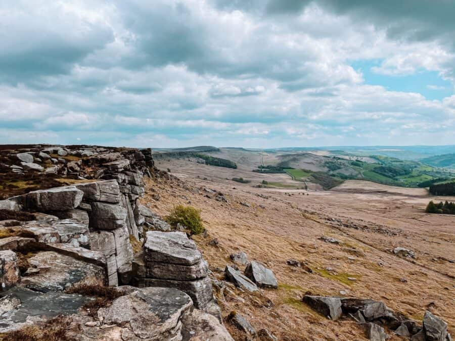
Stanage Edge is the perfect spot for lunch or a snack break while you take in your surroundings.
From the trig point, you’ll have to head back on yourself a short way then the path will veer to your left. Scramble down the rocks and head west through Bamford Moor.
The route is quite tricky to see here and depending on the weather it may also be fairly boggy. We hiked on the first dry day in weeks, lost the path a few times and ended up ankle-deep in water at parts!
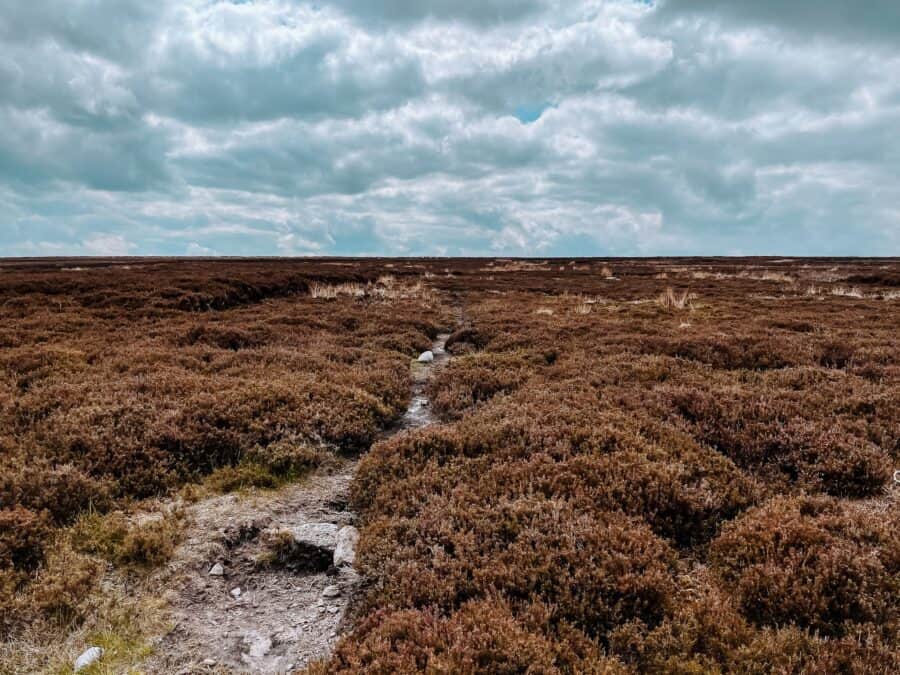
As long as you continue heading west, even if you lose the path, you’ll eventually come out to a ridge with views over Hope Valley and Castleton.
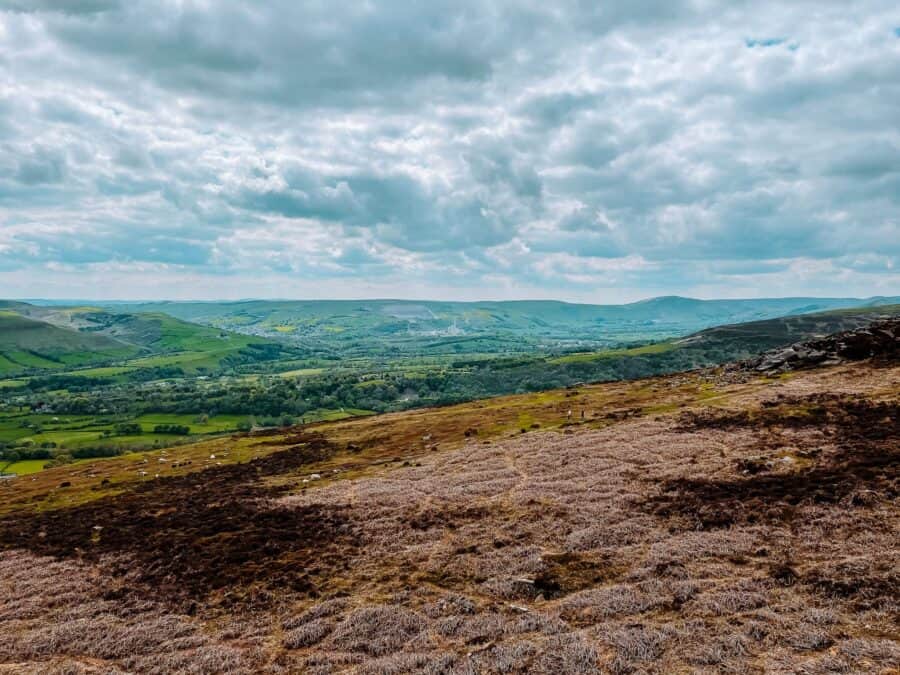
Turn right and head towards the magnificent view from Bamford Edge over Ladybower Reservoir; one of the best views in the Peak District. Stop here for a little while, either for lunch or a snack break and gaze out at the landscape around you.

After you’ve taken hundreds of photos, continue following the path and you’ll head down through a forest with the reservoir in front of you.
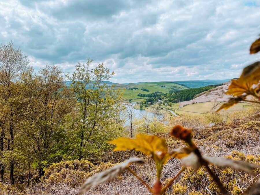
The trail will then veer to the left and the trees will start getting thicker until you’ve reached Priddock Wood which looks like the eerie enchanted forest plucked from the pages of a fairy tale.
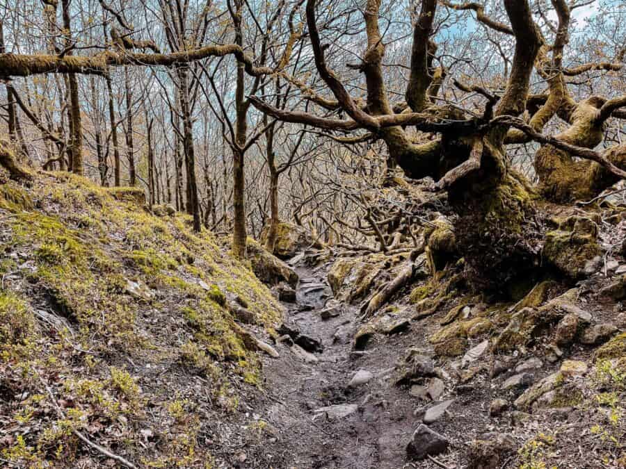
You’ll eventually come out at a little stone wall, cross over it and you’ll head into some more woods but with less of a haunted feeling. Walk through the woods and the path will lead you down to Ladybower Reservoir.
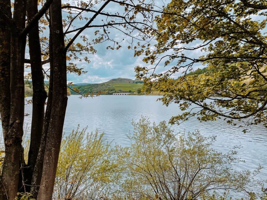
From here, it’s a short walk back to the car park along a paved path.
Everything Else You Need to Know For the High Neb-Bamford Edge Walk
Getting to the trailhead
The best place to park for the High Neb-Bamford Edge Walk is at Heatherdene Car Park (where there are also toilets) as this is where the trailhead is. This car park fills up early so we’d recommend getting there as early as possible. Charges apply, it’s £2.50 for 2 hours and £6 for 24 hours.
Alternatively, there’s a car park at the Ladybower Inn which is where we parked as we arrived about midday and Heatherdene Car Park was full. You also need to pay for parking here which can be done on a card.
If both car parks are full, you can park along some of the roads but it may add on quite a bit of walking depending on how far away you find a space.
Travelling by bus, you can take the number 257 which runs between Sheffield and Bakewell and stops at Heatherdene Car Park.
Where can I stay?
Some other great places to stay in the Peak District, if this hike is part of a larger trip, are Bakewell, Buxton, Dovedale, Edale, Castleton and Eyam.
Alternatively, you can visit on a day trip and stay in either Manchester or Sheffield.
What do I need to take?
As this hike isn’t massively long or strenuous, you don’t need all the gear!
Along Stanage Edge, it can get quite windy, so take layers. Helen wore trainers which, if it had been dry for a while would have been fine but got completely soaked in Bamford Moor so consider wearing waterproof shoes if it’s been raining.
Suncream, plenty of water and at least a few snacks are a must, especially if it’s hot.
Is there anywhere to eat?
The Ladybower Inn is a quaint country pub close to the start of the trailhead. If you park at Heatherdene Car Park and want to go to the pub, it has free parking for customers.
We hope you’ve enjoyed our guide to the High Neb-Bamford Edge Walk; this is one of the most beautiful hikes in the Peak District in our opinion. If you have any questions, please leave us a comment or get in contact 🙂
